Source: NASA
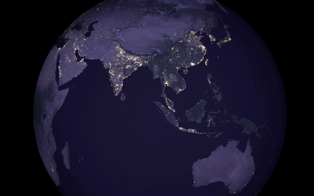
Satellite images of Earth at night — often referred to as “night lights” — have been a gee-whiz curiosity for the public and a tool for fundamental research for nearly 25 years. They have provided a broad, beautiful picture, showing how humans have shaped the planet and lit up the darkness. Produced every decade or so, such maps have spawned hundreds of pop-culture uses and dozens of economic, social science and environmental research projects.